
Where Tornadoes Kill
Every killer tornado since 2008, mapped from the Storm Prediction Center's fatality records. The Deep South carries the highest toll and mobile homes account for more than a third of all deaths. Hover a state for its numbers or open the full report for the rankings, the strength breakdown and the deadliest individual storms.
Where the Economy Is Hot and Cold
Open Full OutlookEach state's color shows its overall economic + safety + outcomes health (green = good, yellow = mixed, red = struggling). The nine bars per state cover economic activity, jobs, unemployment vs. the U.S., how long homes sit on the market, migration, gas prices, consumer-price inflation, the homicide rate vs. the U.S. and Grade 4 reading scores vs. the U.S. Hover a state for exact numbers or click to open its dashboard.
Murder Rates by State
All crime dataDeadliest Cities in America
Full rankingThe Deadliest Cities, Mapped
Open the RankingEvery U.S. city of 5,000 or more, ranked by murders per 100,000 residents averaged across 2020 through 2024 from FBI agency data. The largest mass shootings are excluded and disclosed. Tap a bubble for any city or zoom in to pull crowded metros apart.
Dark red (50+) is sized by rate (max on this map: 93); bubbles grow as you zoom in, and the basemap fills in streets and city names so you can place each one. Use the zoom buttons, a double-click or pinch to move around. Hover or tap a red or orange bubble for details or search the table below for any city.
The Most Dangerous States to Live
Open the BreakdownOne score for four very different risks: murder, police line-of-duty deaths, tornadoes and the road. Each is ranked across all 50 states and DC then averaged, so a state high on every list rises to the top. Green is safest and red is most dangerous. Hover a state or open the full map to pull the hazards apart.
Most Dangerous Overall
The Deadliest States for Police Officers
Open the Full ReportLine-of-duty police officer deaths by state, 2005–2026, from the Officer Down Memorial Page. Green is safest and red is deadliest. The default view adjusts for population and excludes COVID-19 and 9/11 illness so the ranking is not a one-time-event artifact. Toggle either tail back on or click a state for its detail page.
The Deadliest States for Driving
Open the Full ReportTraffic deaths per 100 million vehicle miles traveled, so a rural state with long empty highways is compared fairly against a dense urban one. Hover a state for its numbers or click through for the full rankings and trends.
- PAMajor delayI-95 · NPhiladelphia · Crash on I-95 northbound between .2 miles north of Exit 26: BETSY ROSS BR - NEW JERSEY and .4 miles south of Exit 27: I95 NORTH - TRENTON. There is a lane restriction.
 SCMassive delayOld Georgia Hwy— · South Carolina Department of Public Safety
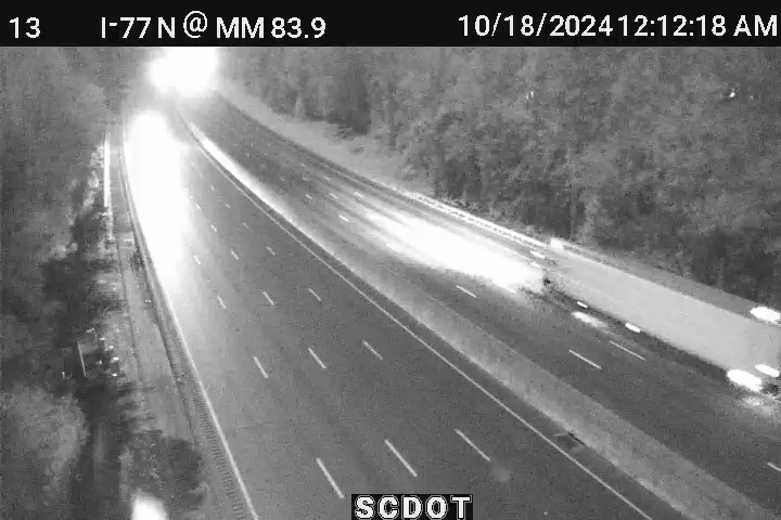 SCMajor delayI-77 S— · There is a BREAKDOWN
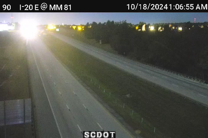 SCMajor delayTwo Notch Rd— · South Carolina Department of Public Safety
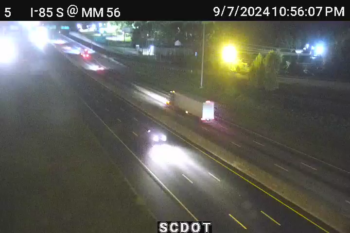 SCMajor delaySC-14— · South Carolina Department of Public Safety
 SCMassive delayOverbrook Dr— · South Carolina Department of Public Safety